Flathead River Out of Canada

Home / Flathead River Out of Canada

~Select arrow for location key~

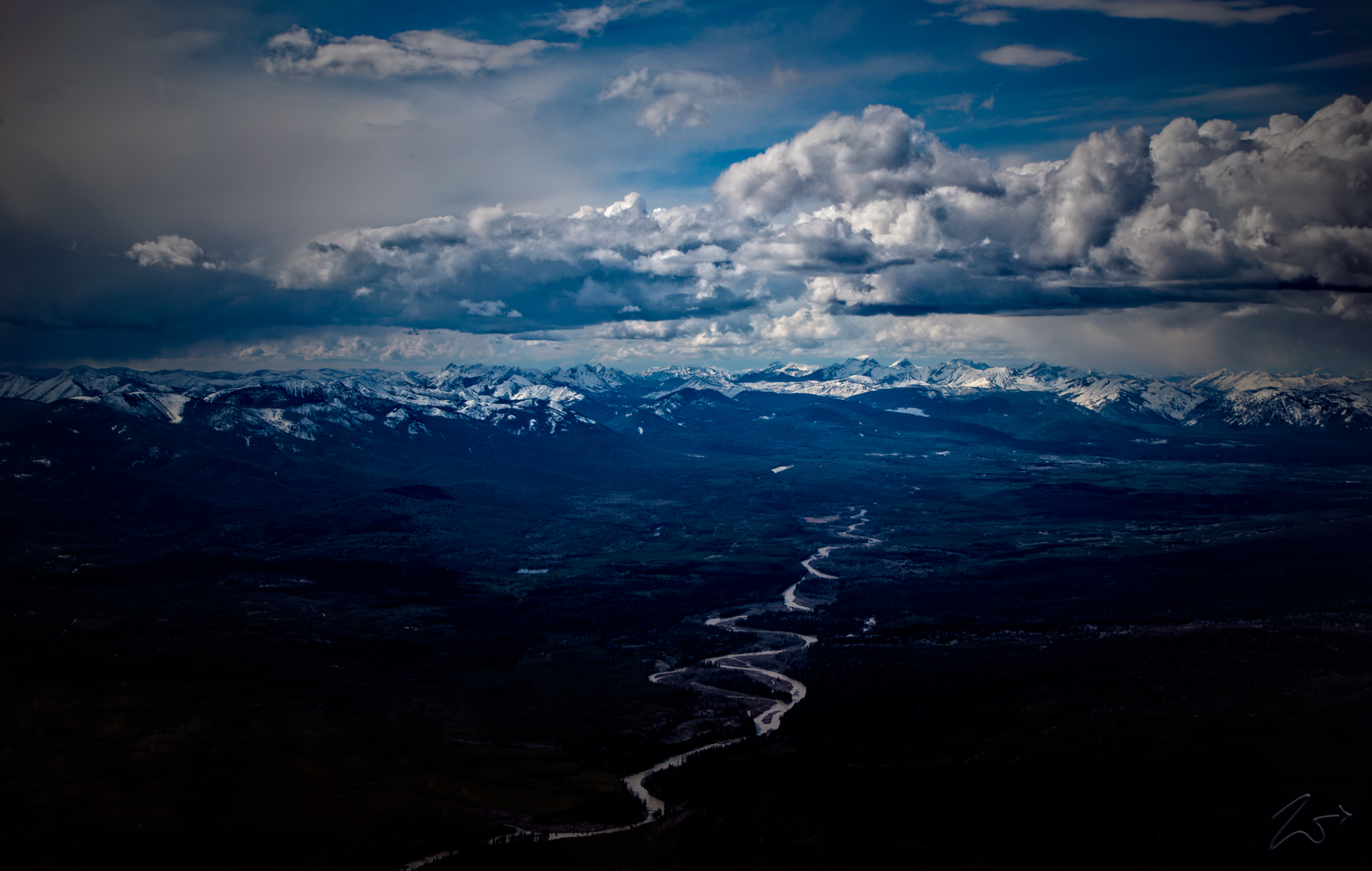
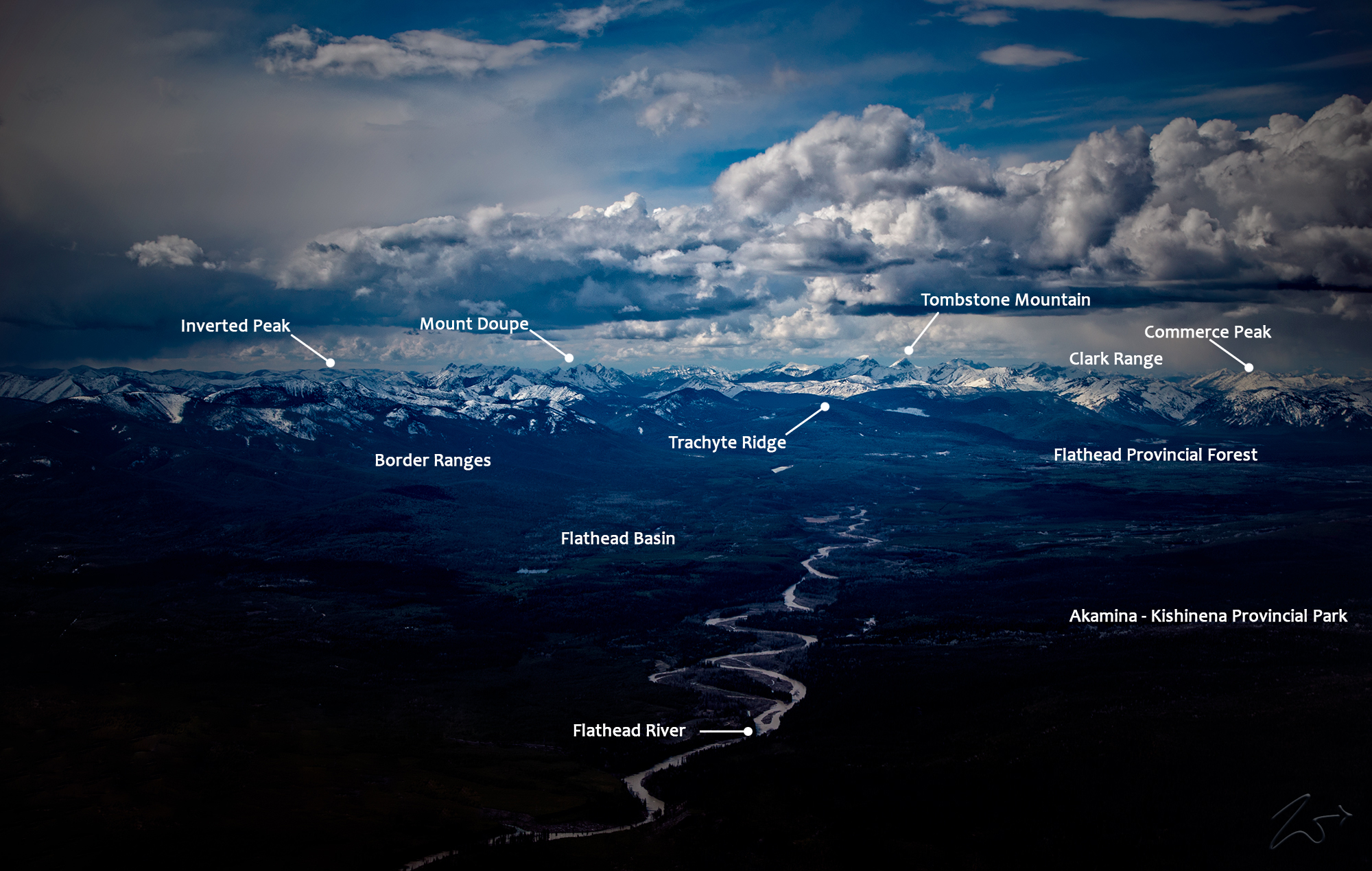
In this captivating scene, the North Fork of the Flathead River meanders gracefully from its pristine headwaters, gracefully cascading over the horizon nestled amidst the majestic peaks of the northern Canadian Rockies. Here, at the threshold between Canada and Montana, nature unfurls its panoramic grandeur, painting a portrait of sublime beauty and ecological significance.The mountains adorning the distant horizon to the right stand as sentinels of the Akamina-Kishinena Provincial Park, a sanctuary of rugged wilderness and natural splendor. The North Fork, regarded as the cradle of the Flathead River, originates in a serene valley northeast of Lake Koocanusa, nestled within the embrace of the Clark Range. Guided by the gentle contours of the land, it traverses its course, converging with the Continental Divide before gracefully veering southward, tracing a sinuous path through a vast glacial valley that spans across the international border.

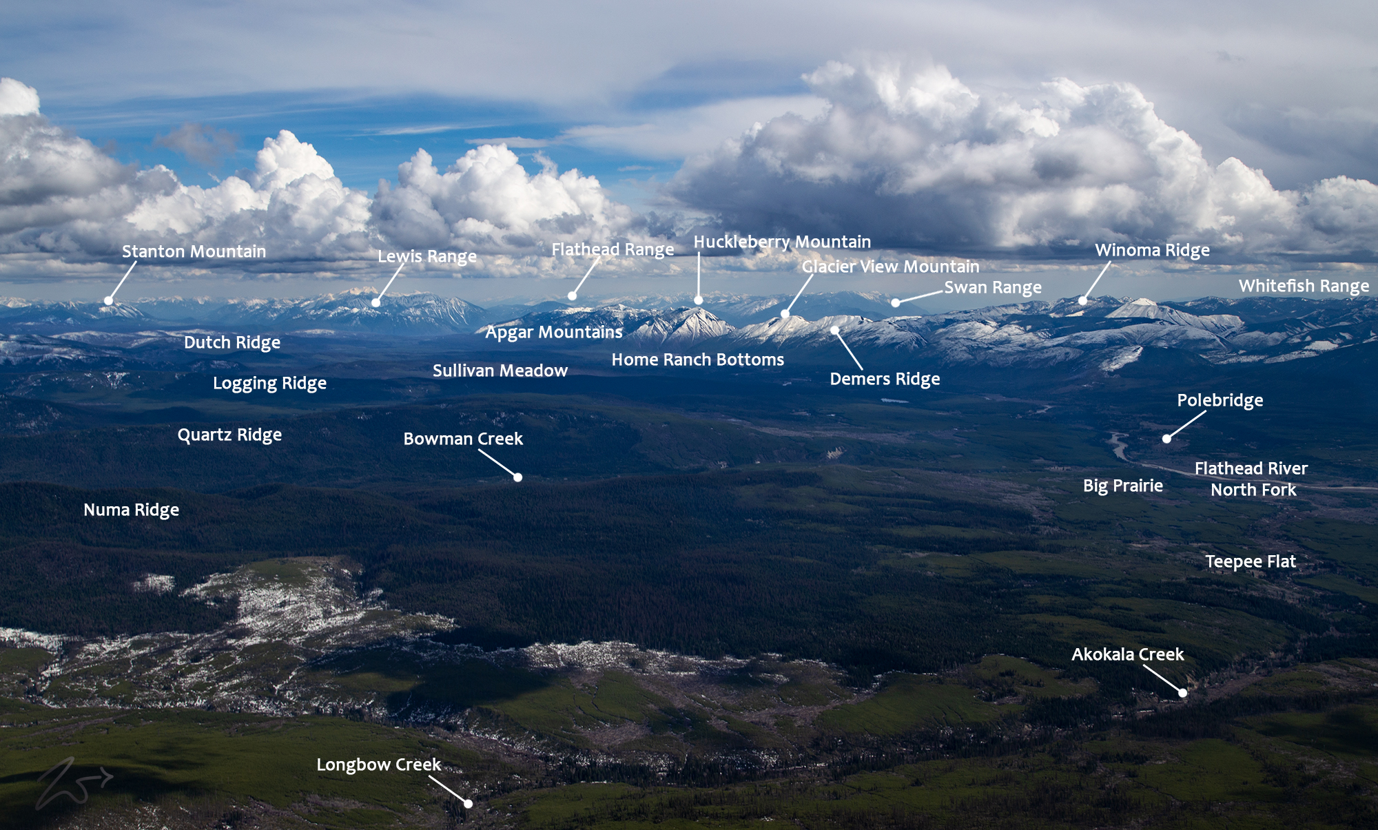
Below; the Wild and Scenic Flathead River follows the contours of the North Fork Valley south across Numa Ridge, Quartz Ridge, Cerulean Ridge, Loggin Ridge, Camas Ridge, and Howe Ridge. In the distance is Huckleberry Mountain, where the Flathead River cuts through the pass between Glacier View Mountain and Huckleberry Mountain.  The snowcapped mountain ridges from the right are; Cyclone Peak, Winona Ridge, Demers Ridge, and Glacier View Mountain.

~Select arrow for location key~

In the lower foreground of the image above, Akokola Creek arcs horizontally, carrying snowmelt from Reuter Peak and Numa Peak above, flowing down towards the Flathead River. The North Fork Flathead River flows from British Columbia, Canada, south into Montana. It is one of the three primary forks of the Flathead River, which is the main source of Flathead Lake and a tributary of the Columbia River through the Clark Fork River and then the Pend Oreille River.
This expanse serves as a vital refuge, nurturing and safeguarding the habitats of diverse wildlife, notably hosting the last bastion of self-sustaining grizzly bear population in the United States. It also serves as a sanctuary, a winter haven for mountain goats and bighorn sheep, embodying the delicate equilibrium of nature’s intricate tapestry.

The storied past of this land echoes through the annals of time, intertwined with the footsteps of ancient tribes such as the First Nations Akamina-Kishinena. Across millennia, they preserved and passed down the sacred knowledge of these routes, etching their wisdom into the fabric of tradition. Their intimate understanding of the landscape, the labyrinth of animal trails and ancient paths, served as the lifeline through the rugged wilderness of the North Fork Flathead River Basin.

~Select arrow for location key~

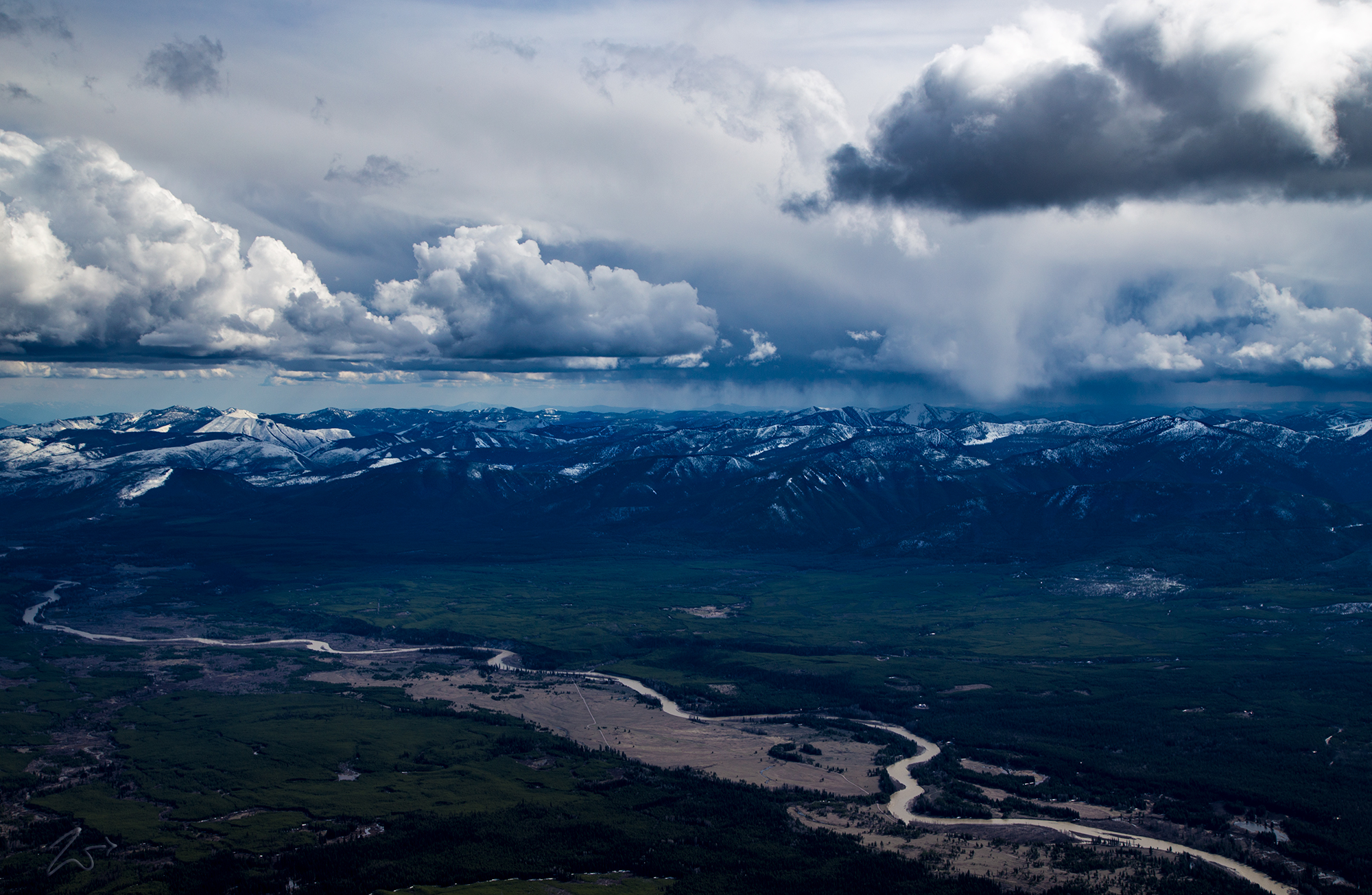
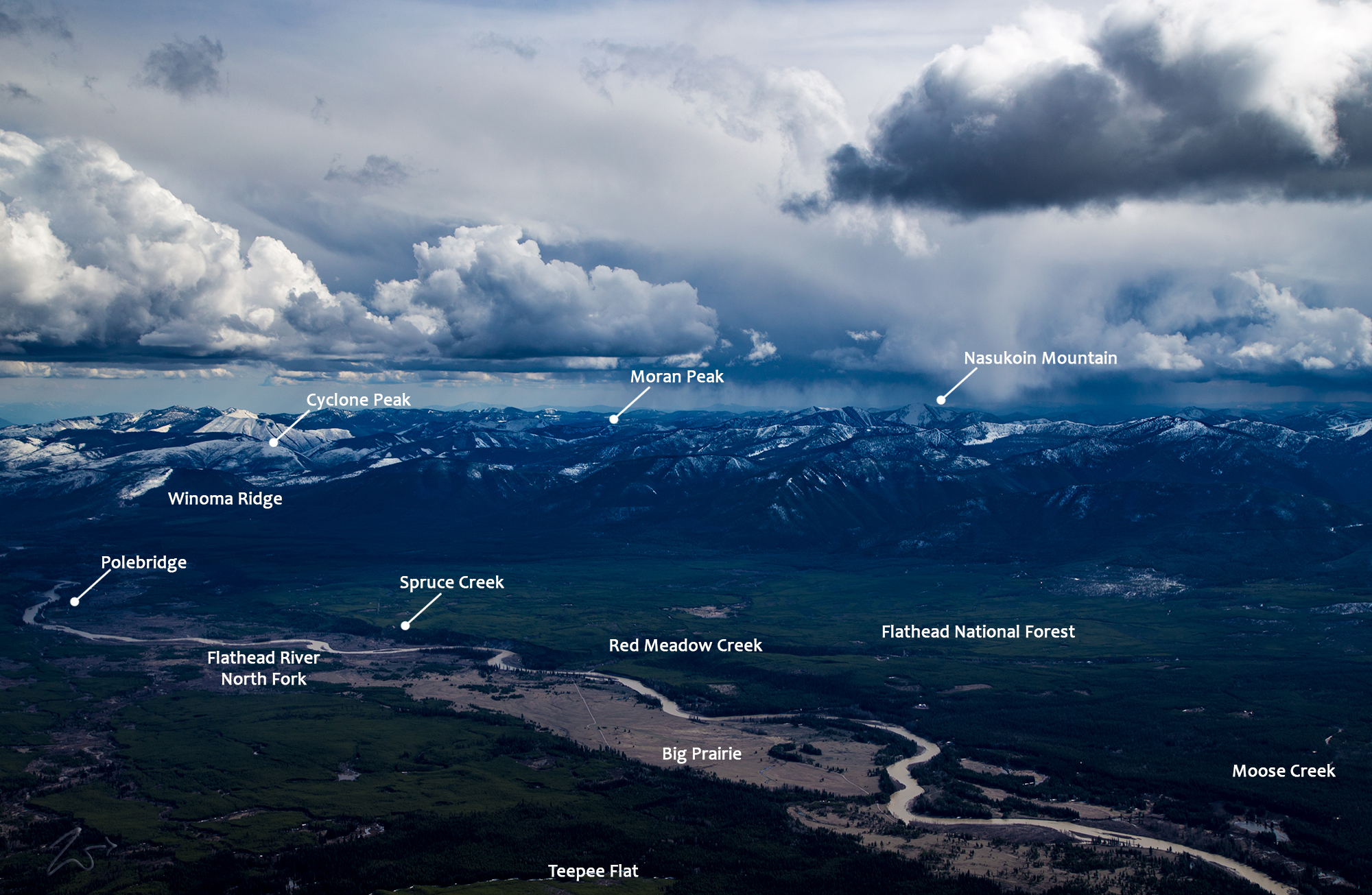
Above; The Flathead Wild And Scenic River gently curve through the eastern side of the North Fork Valley. In the middle of the image lies The Big Prairie and the mountains along the distance are the Whitefish Range and the snow-capped mountains of the Smoky Range are on the far left.
For generations, the Cree people, with reverence and resilience, forged a symbiotic relationship with this untamed realm. They traversed the river’s banks, venturing far from their northern homelands, drawn by the abundance of elk grazing in verdant meadows, rolling hills, and babbling streams that weave through the shadow of towering peaks. Theirs was a dance with nature, a timeless journey marked by harmony and reciprocity, echoing across the annals of time.

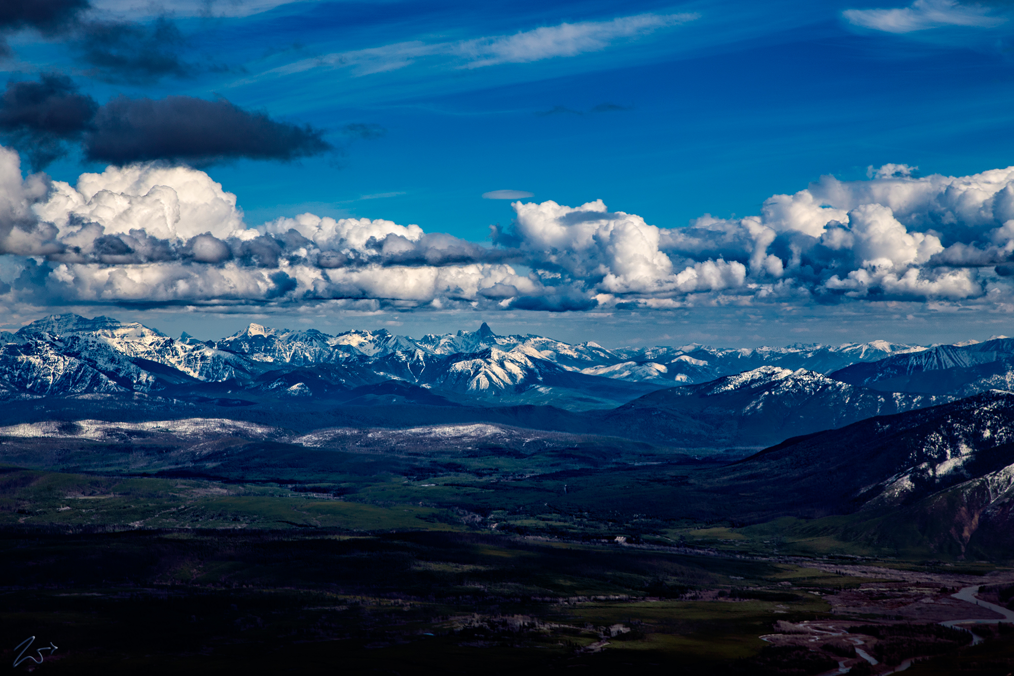
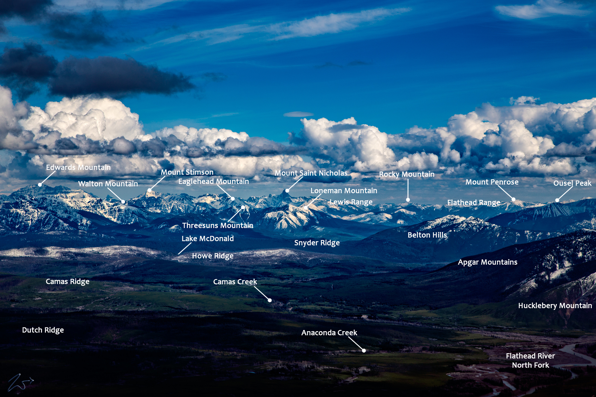
This scene below displays the entire western entrance to Glacier National Park. In the bottom right of the image, the Flathead River begins a sharp westerly turn in the pass at Huckleberry Mountain (on the right). Across the distance on the horizon, Saint Nicholas Mountain towers above the mountains of Glacier National Park.

~Select arrow for location key~

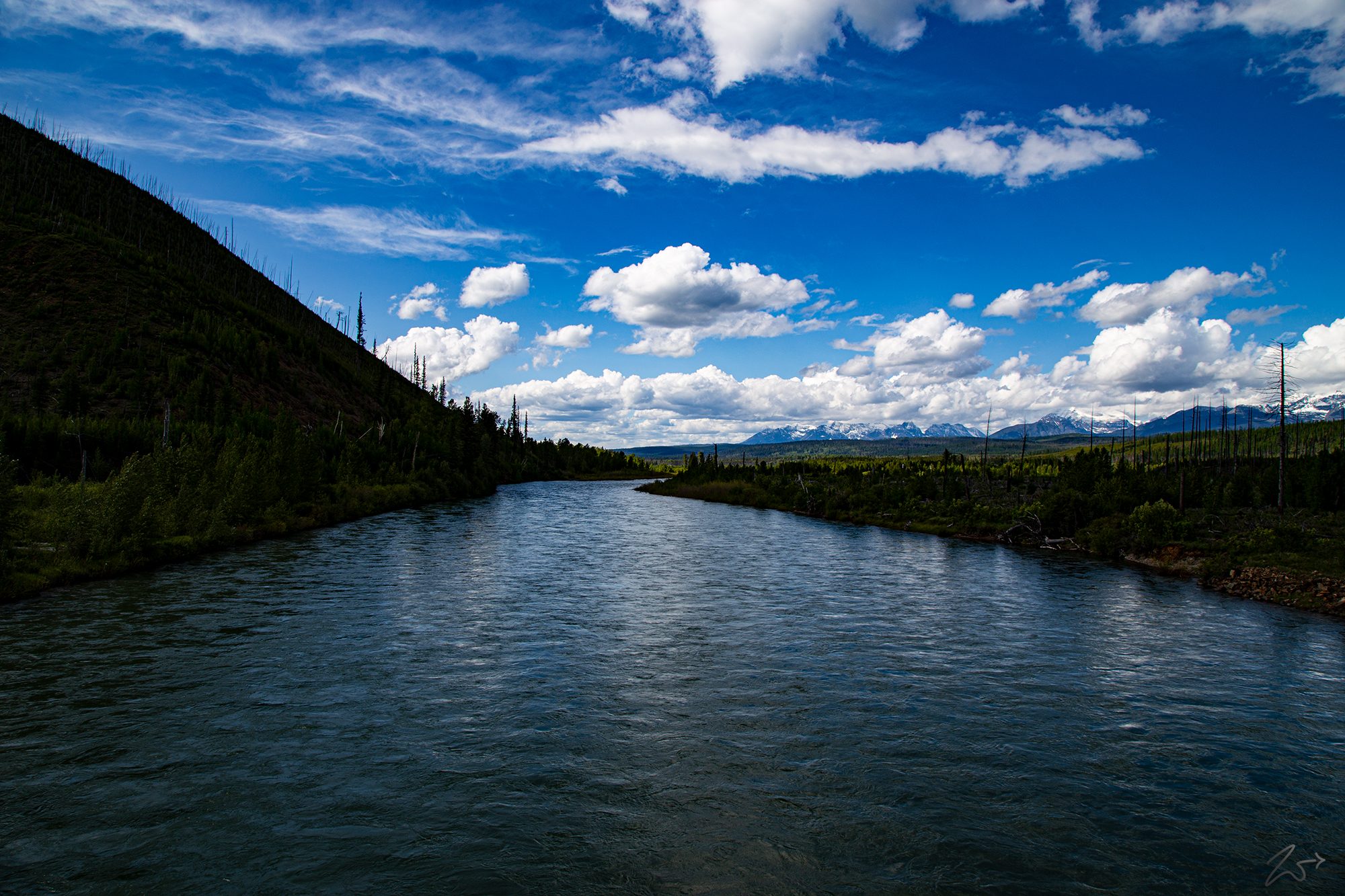
In the serene vista captured in the bottom right corner of the image above, the sinuous ribbon of the Flathead River gracefully wends its way, an emblem of life and vitality amidst the tranquil landscape. Below, in the subsequent image, we are transported to the very heart of this scene, gazing northward from the river’s edge.In the annals of history, this waterway bore witness to the ancestral journeys of the First Nations Kootenai or Ktunaxa, who bestowed upon it the evocative name: kqaskanmituk. With reverence and purpose, they traced its course upstream, embarking on an odyssey that intertwined with the rugged contours of the land.

Their footsteps echoed through time as they undertook a arduous trek, circumnavigating the formidable mountainscape through the South Kootenay Pass to the northeast. Their destination lay beyond the horizon, nestled amidst the expansive plains and prairies that unfolded on the eastern side of the Rocky Mountains.

Driven by a spirit of exploration and a quest for sustenance, they traversed this challenging terrain to engage in the timeless rituals of trade with neighboring tribes and pursue the elusive buffalo, a symbol of abundance and resilience in the vast wilderness. Their journey was not merely one of physical endurance but also a testament to their deep connection to the land and their enduring resilience in the face of adversity.

In each ripple of the river and every shadow cast by the towering peaks, their legacy endures, woven into the fabric of this landscape and etched into the collective memory of generations to come. Theirs was a journey of resilience, adaptability, and kinship with nature, echoing through the ages as a testament to the enduring spirit of humanity’s quest for connection and survival amidst the untamed wilderness.

~Select arrow for slide show~
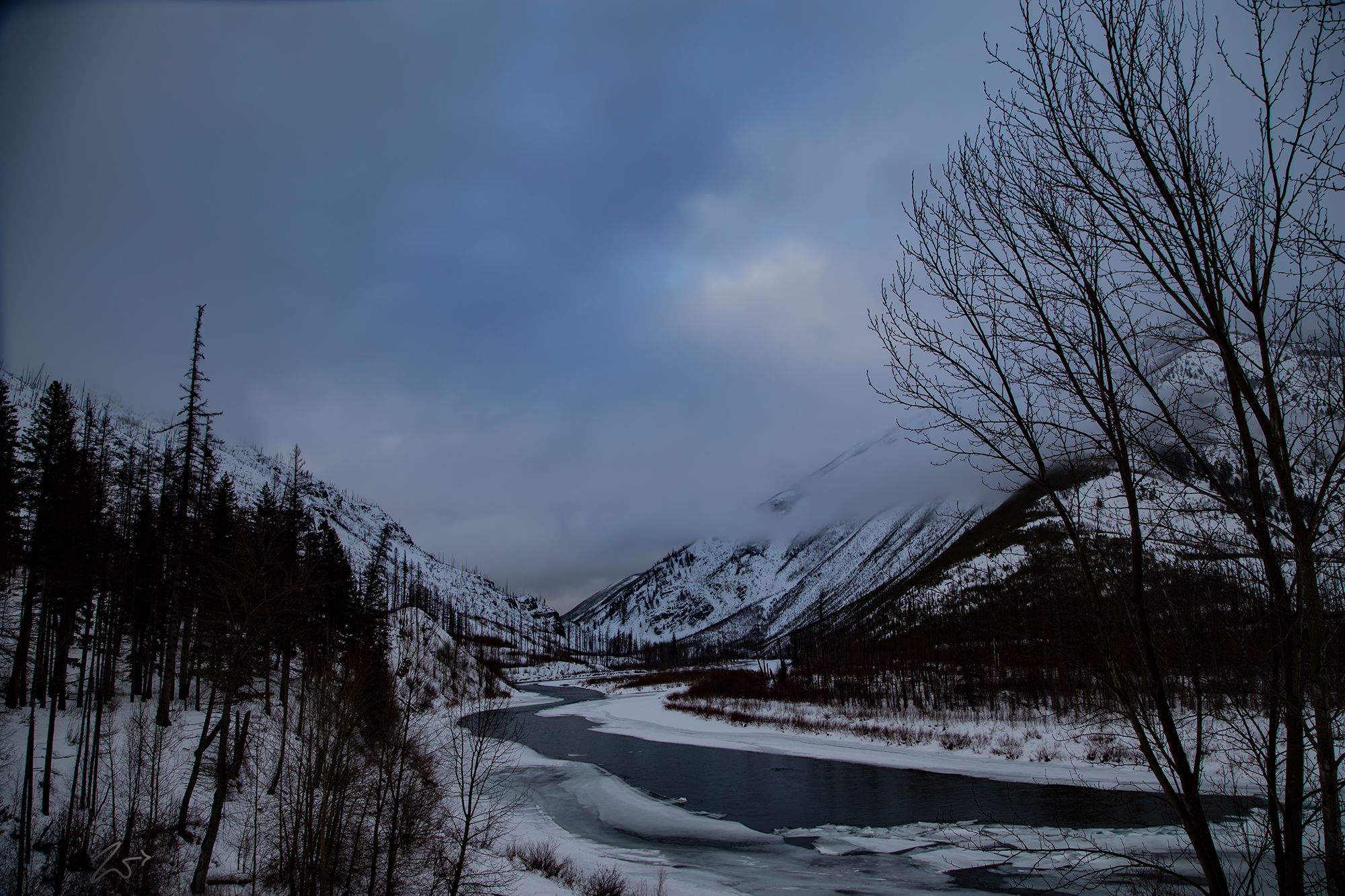
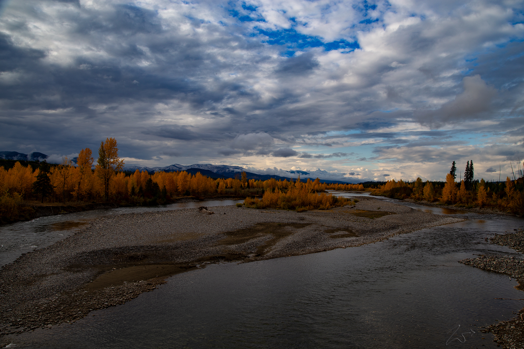
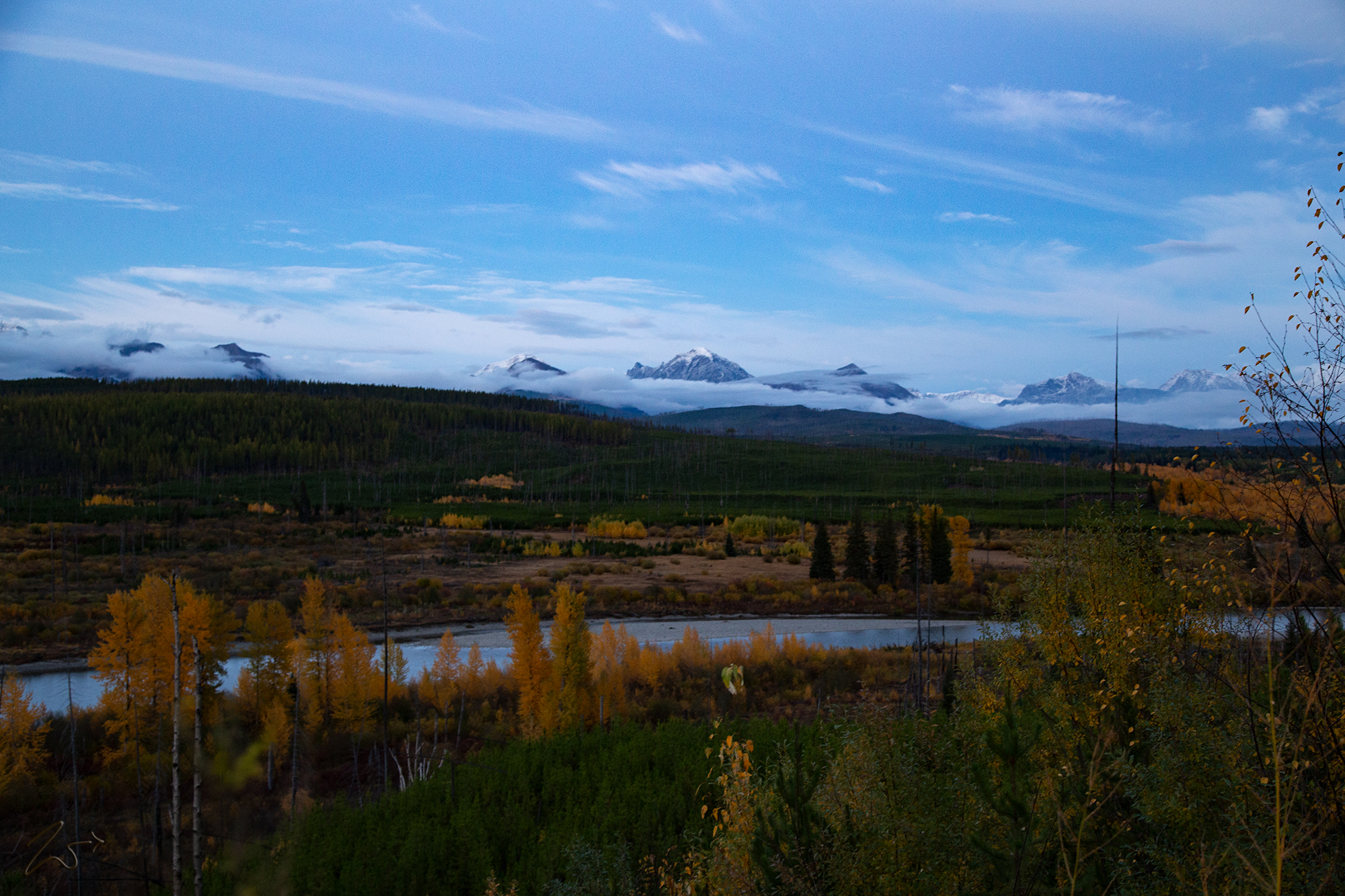
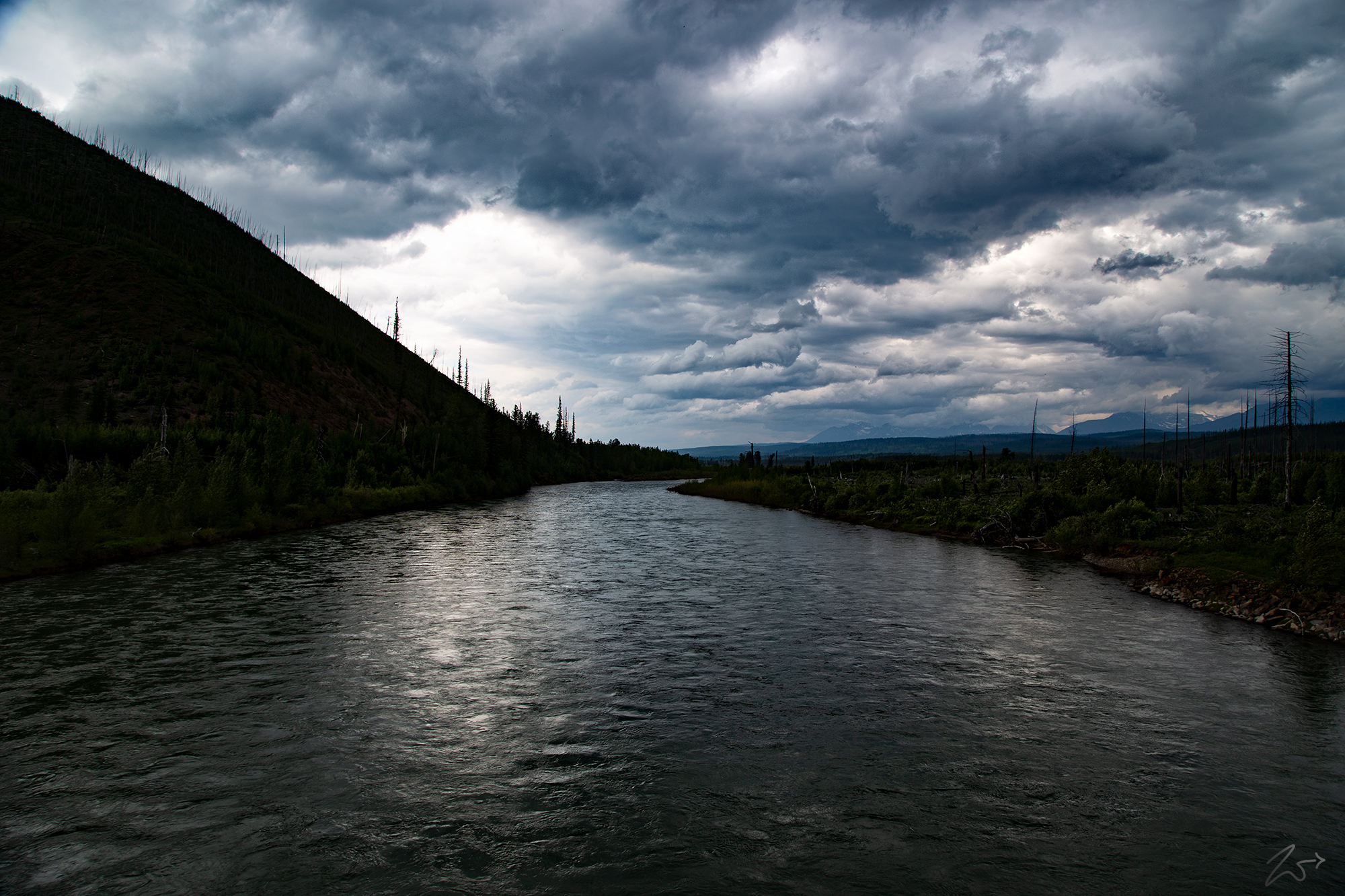
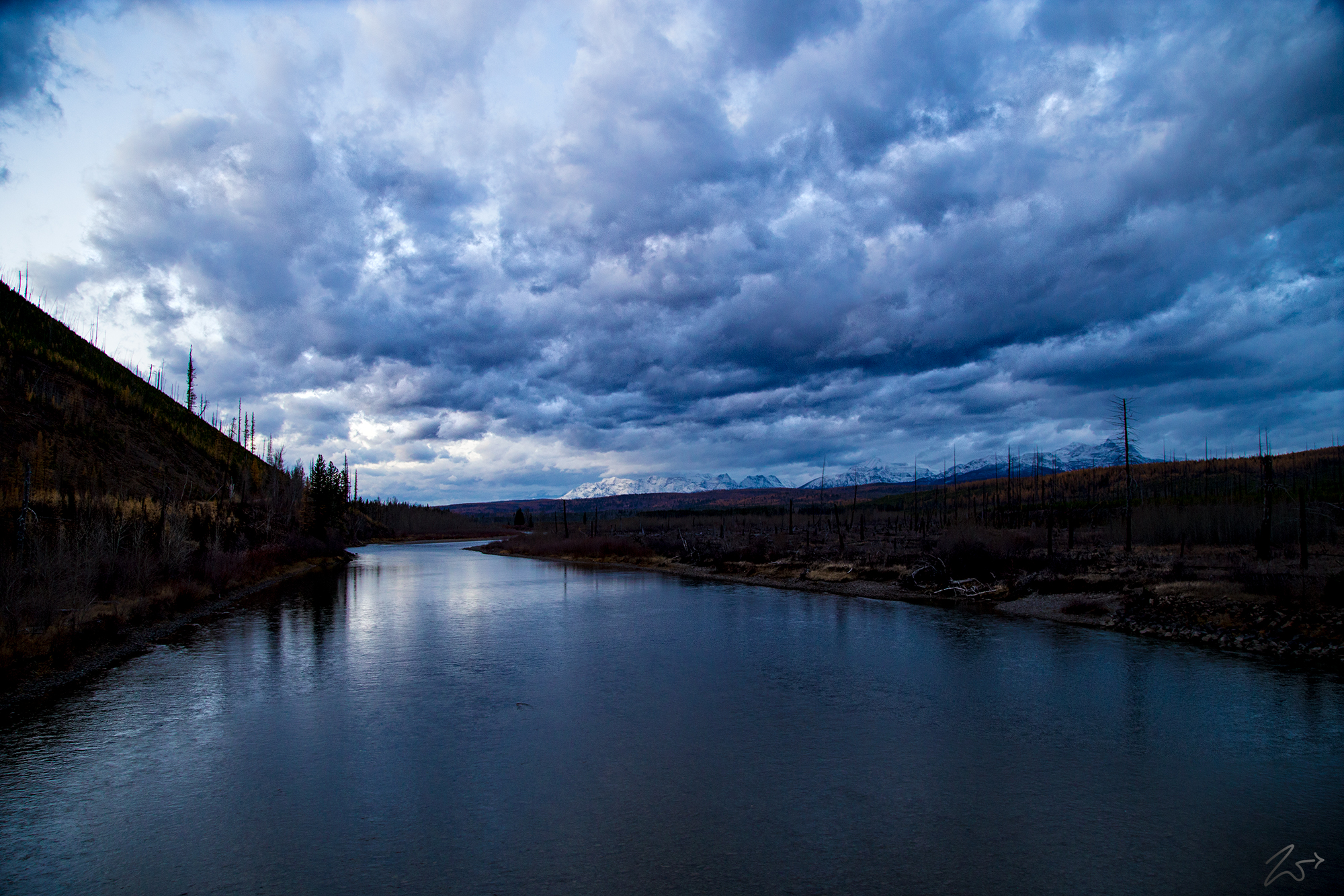
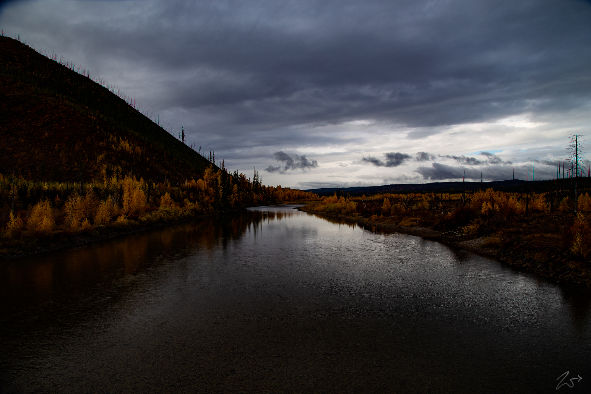
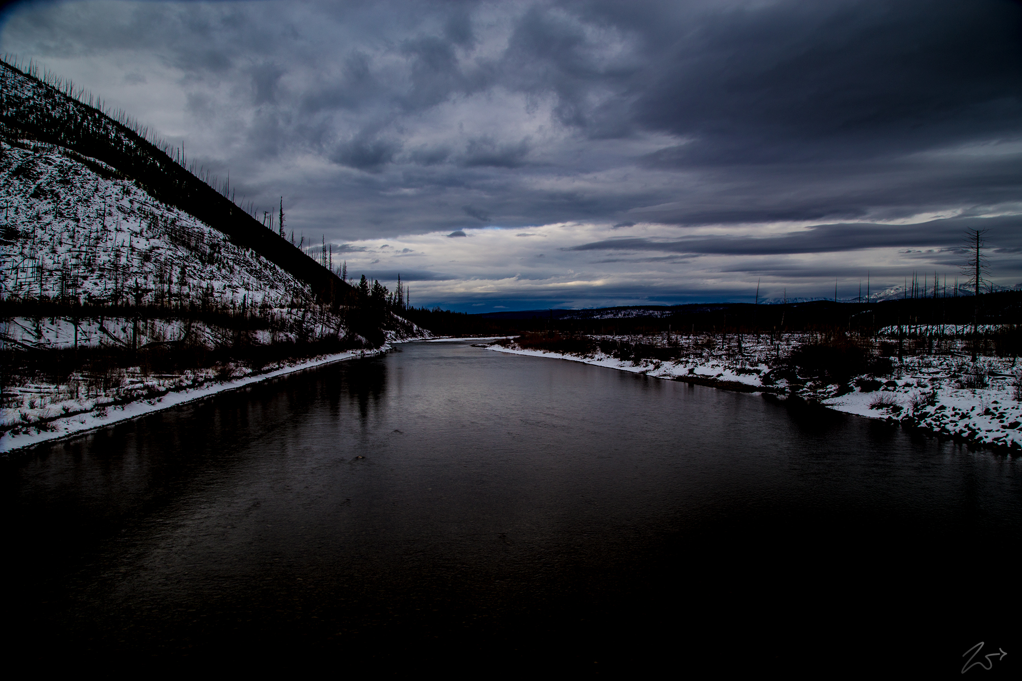
The above sequence of images was taken from the bridge crossing the Flathead River near Camas Creek. In the image below, the partially frozen Flathead River moves past Glacier View Mountain on the left and Huckleberry Mountain on the right.

error: Content is protected !!