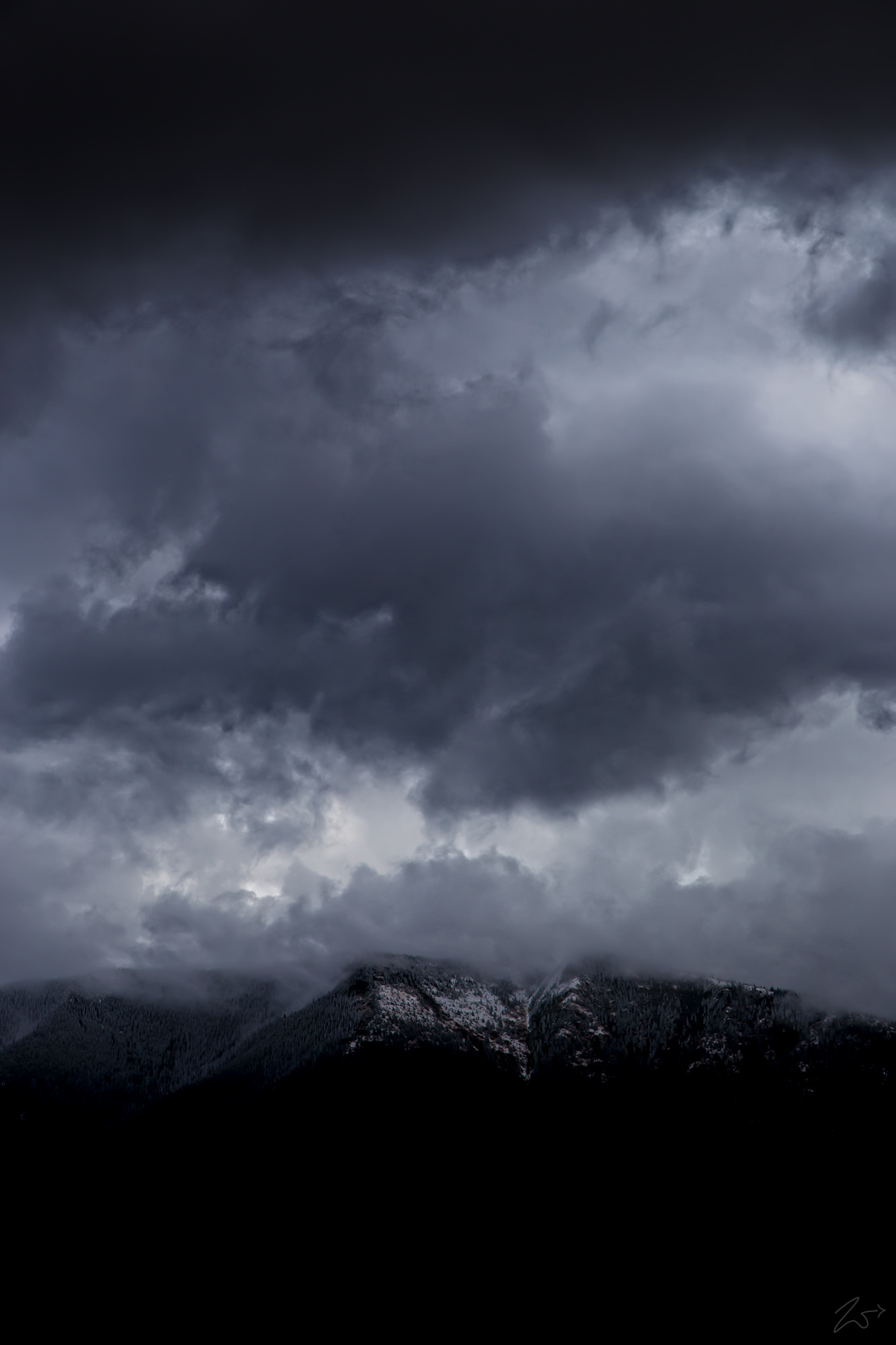
On the distant horizon, Sage Creek Mountain overlooks the vast wilderness of Ashley National Forest as it cools down during a late summer rainstorm in this image lensed while flying and exploring the area along the border of northeastern Utah and southwestern Wyoming. This is beautifully pristine wildlands full of vast forests, lakes, and mountains with elevations ranging from 6,000 to 13,500 feet (1,800 to 4,100 m). Ashley National Forest was created on July 1, 1908, by the executive order of President Theodore Roosevelt. An additional area of approximately 120,000 acres (486 km2) was added to the National Forest when President Lyndon B. Johnson established the Flaming Gorge National Recreation Area, which was made a part of Asley National Forest.
Since time immemorial First Nations Tribes have occupied these wildlands, and Petroglyphs (rock art) which is found throughout the Forest suggest that these lands have been hunted for centuries by Tribes long before the arrival of Europeans.
The first Europeans believed to have set foot in Ashley National Forest were the Spanish explorers Dominguez and Escalante, in 1776. The Forest, however, was not thoroughly explored until the early 19th century when General William Henry Ashley, an organizer of a fur company, began looking for an outlet to the Gulf of Mexico for his business.
General Ashley and his team began making their way up the Green River(one of the many bodies of water located in the Forest) in the spring of 1825. After passing through the Flaming Gorge, local tribesmen convinced them to turn around and head back up the Uinta Mountains.
During his exploration, General Ashley wrote and hung his name out over one of the rivers that he had explored, which now lies below the water of the Flaming Gorge Reservoir; this is how Ashley National Forest received its name.

