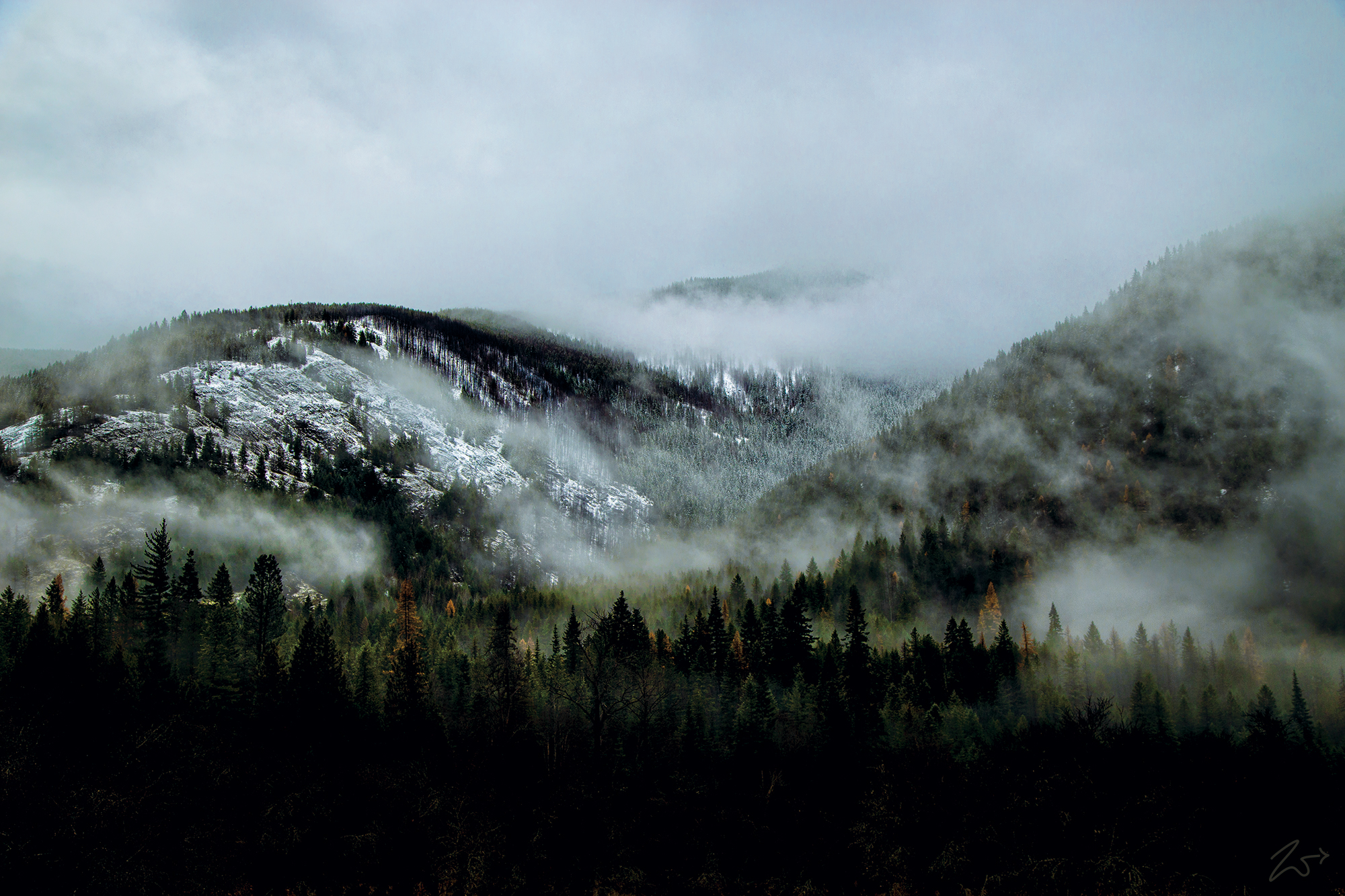
Berray Mountain Basin is located in the Cabinet Mountains of Montana. In this photo, it lies silently cloaked in tattered wisps of evening fog on a late Autumn day. Snow has already fallen in the upper elevations on the distant mountainside and the larch trees stand as mysterious dark golden shapes in the mist.
The Cabinet Mountains are part of the Rocky Mountains, straddling northwest Montana and the Idaho panhandle, covering an area of 2,134 square miles (5,527 km²). They lie south of the Purcell Mountains, between the Kootenai River and Clark Fork River and Idaho’s Lake Pend Oreille and east of the Purcell Trench. They form the north side of the Clark Fork River valley in Idaho and Montana. The Cabinet Mountains Wilderness is located east of the Bull River near Noxon, Montana in roughly the center of the range.
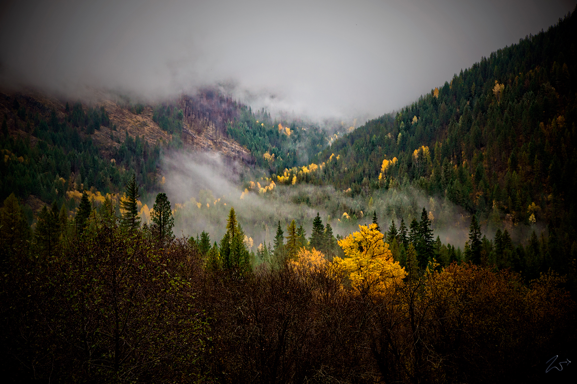
In the following image Berray Creek flows down from above on Berray Mountain into the Bull River below during the fall season when the trees have taken on their colorful seasonal display.
This area is a wonderful wildlife habitat and contains some of the wildest areas in the United States. Home to mule deer, elk, moose, bighorn sheep, black bear, grizzly bear, wolverine, wolves, and many other smaller species, this was hunting grounds for the First Nations Kootenai who especially valued the Mountain Goat for food and pelts.
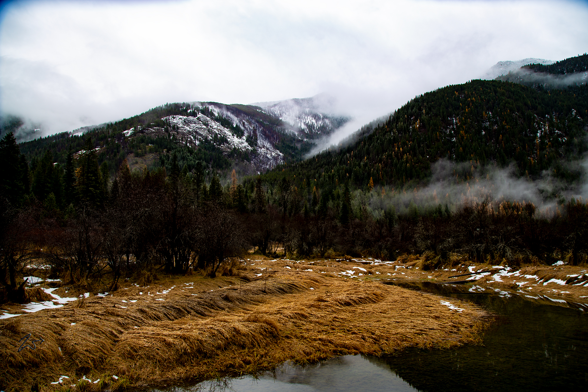
In the following image, Berray Mountain rises into the morning mist, a mixture of rain, fog, and lite snow envelop the mountainsides, obscuring the top. On the bottom right, the shores of the Bull River are carpeted by dry winter grass.