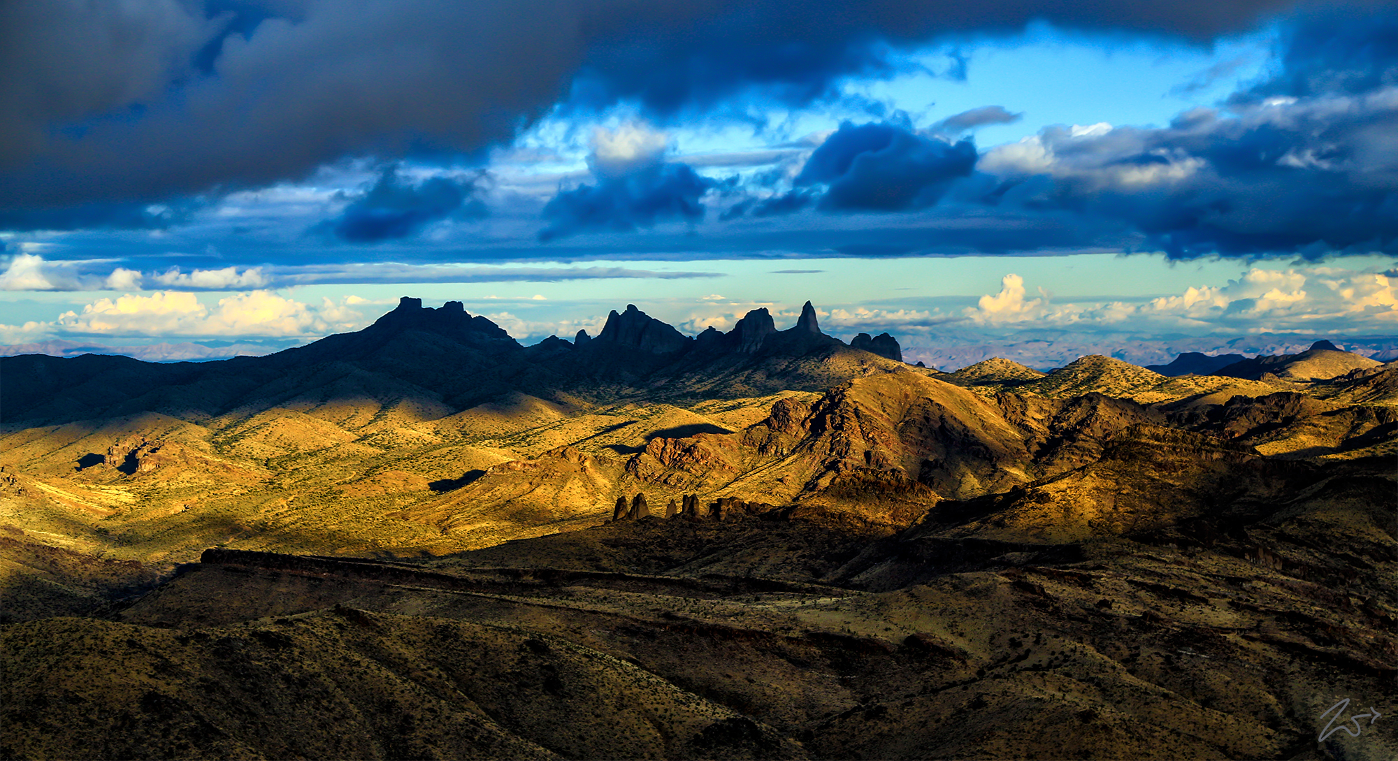
In this view above, looking west is the unique formation known as Castle Peaks. Not to be confused with Castle Peak which is near Donner Pass along I-80, these peaks are located in the East Mojave National Scenic Area, along the northeast corner of the Mojave National Preserve and form a subrange of the New York Mountains. This formation is easily seen from I-15 as you come down the hill towards the Ivanpah / Primm area towards Las Vegas. As you descend down the hill look straight across the valley on the horizon and you will see the jagged peaks along the top of the mountains.
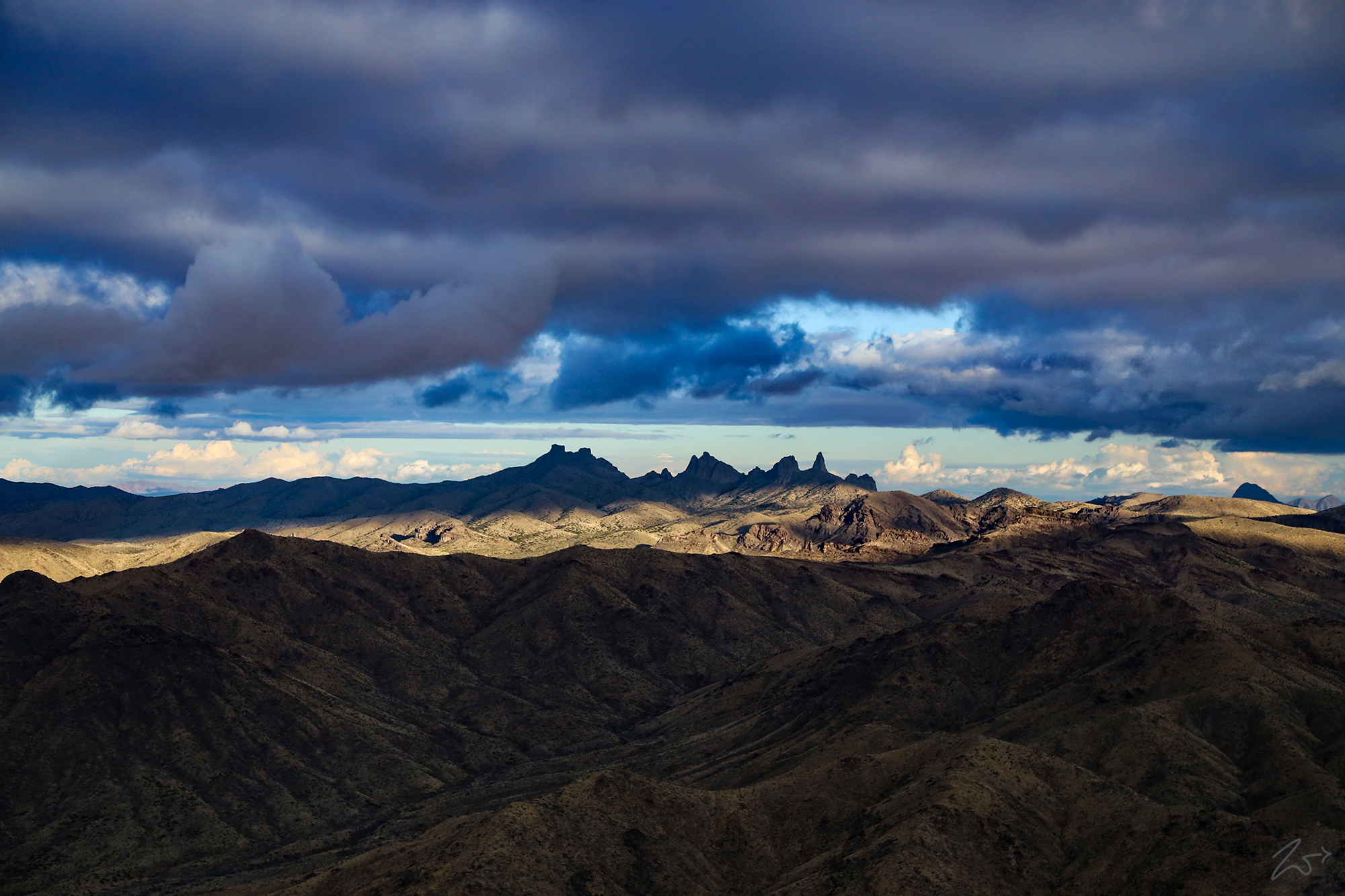
Zedekiah: “I shot this image just after a rains storm had passed the area; hence the cloud layers in the distance. You can clearly see the smaller formation below the Peaks in this image. While not an exact copy it is a smaller replica set of the larger peaks. What is really intriguing about these double-peak formations is that there are no other formations of this type in the area surrounding the peaks. So two of them together in such close proximity is pretty neat to see, especially from the air. I discovered this small formation while I was flying and filming the peaks from the eastern side of the mountain range.”


~Select arrow for location key~
The peaks are composed principally of volcanic tuffs and breccias which caused deep erosion and formed distinct, sharp summits. However, only two summits have more than 300’ of prominence: the peak marked “Dove” on the USGS 24k map (1776.7m), and the DPS-named “North Castle Butte” (1797m). The latter is unnamed on the USGS map. The peak marked “Dove” is often called “Dove Benchmark”, but the actual monument (an aluminum disc placed in 1956) has disappeared. The benchmark was likely named after Dove Spring which is nearby.
While an interesting geological feature, it is quite unusual that there exists a smaller, unnamed formation that sits below Castle Peaks merely a rocks throw distance to the east.
This part of the Mojave Desert was home to First Nations Tribal Peoples such as the Desert Chemehuevi and the Mohave who lived as hunter/gatherers in the area. They used the Ivanpah Valley on one side of the New York Mountains and the Colorado River on the other as a transportation corridor. Limited food and water resources sustained a low Desert Chemehuevi population density. When food was abundant, it would be dried and cached for later use. The area of the Mojave Preserve probably never supported more than about 150 people at any one time.
