~Select arrow for location key~
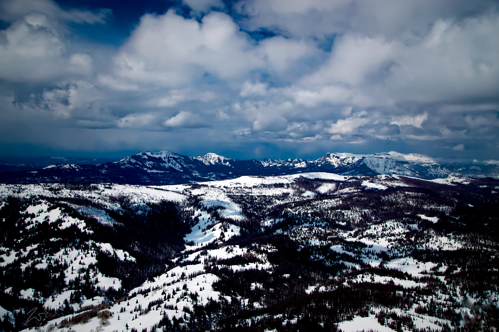
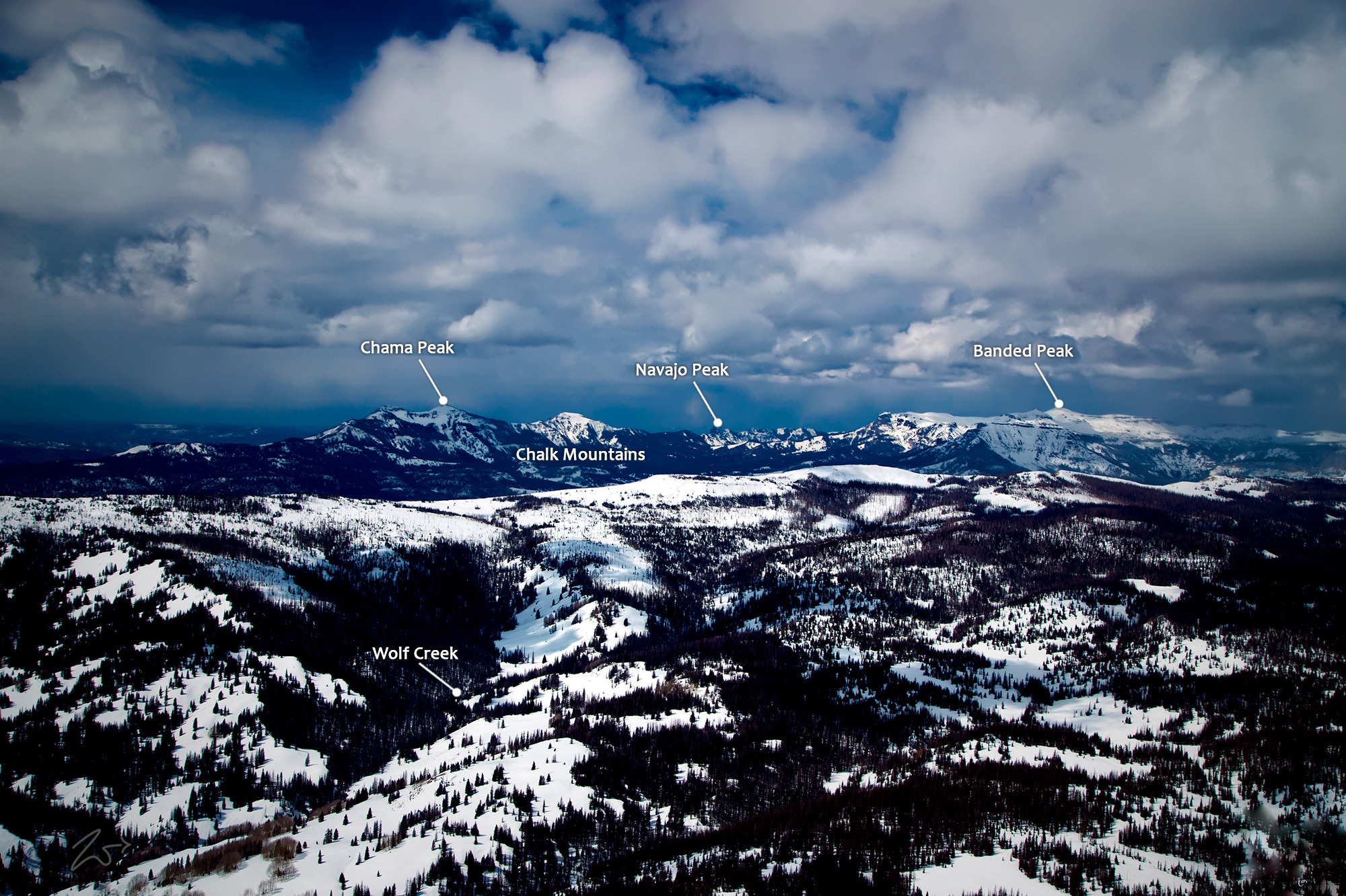
This image shows the Rocky Mountains of Colorado along the Continental Divide as it passes through Chama Peak (12,021 ft / 3,664 m) on the left and Banded Peak (12,769 ft / 3,892 m) on the right. In the immediate foreground left is Neff Mountain (10,886 ft / 3,318 m) and on the right side of that shelf is Jarosa Peak (11,768 ft / 3,587 m). In between the two is the Los Pinos Creek which flows past Trujillo Meadows.
This area is part of the Tierra Amarilla Land Grant which straddles the border of Colorado and New Mexico. Tierra Amarilla is Spanish for “Yellow Soil“. The Tierra Amarilla Land Grant was formed in 1832 by the Mexican government for Manuel Martinez and settlers from Abiquiu. However, due to continuous raids on settlements by First Nations Utes, Navajos, and Jicarilla Apaches, which lasted until early in the 1860s the grant holders were unable to maintain a permanent settlement.
The name refers to clay deposits found in the Chama River Valley and used by First Nations Native American peoples. The Tewa and Navajo toponyms for this area also speak about the abundance of yellow clay found in this area. For 5000 years First Nations tribes inhabited the Chama River Valley. The area served as a trade route for people in the present-day Four Corners region and the Rio Grande Valley.
First Nations Navajo used the valley as a staging area for raids on Spanish settlements along the Rio Grande. Written accounts of the Tierra Amarilla locality by pathfinding Spanish friars in 1776 described it as suitable for pastoral and agricultural use. The trail traveled by the Catholic Friars from the Santa Fe area across to California eventually became known as the Spanish Trail. During the Californian Gold Rush, this area became a staging point for westward fortune seekers.
Zedekiah: “I shot this flying west by north-west from Sante Fe, New Mexico area to Four Corners. I’m at an altitude of 11,500 ft. (3,505.2 m). It was cold shooting through an open cockpit window in the bush plane.”


