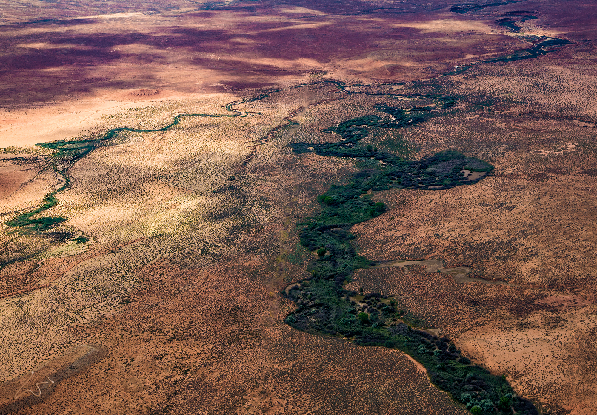
Kanab Creek is one long little creek at 125 miles (201 kilometers) from its headwaters in Kane County, Utah. It begins near the Great Basin as a tiny stream and runs all the way to the Colorado River.
During its course southward it flows through the Kaibab Indian Reservation of the First Nations Paiute people and the Kanab Creek Wilderness, before merging into the Colorado River in the Grand Canyon National Park.
The Kanab Creek Wilderness was officially designated a protected wilderness area in 1884 and it covers a total of 68, 231 acres, mostly located in Arizona near the Grand Canyon.
Sometimes flying across the vast high desert flatlands I find the occasional lush green riverbeds covered in bullrush and other plants that grow alongside the rivers, streams, and creeks. I really love how the colors around the still wet riverbeds are bright green with life compared to the drying lands surrounding them.
In ancient times, the First Nations tribes depended on these small rivers as both pathways and sources for water and edible plants, plus building materials with the bullrushes and other brush that grew along the fertile riverbanks.
This is located on the border of the First Nations Kaibab – Paiute Reservation in Northern Arizona just below the border with Utah on the flatlands between the north sides of the Grand Canyon and the Escalante Grand Staircase National Monument.
Continuing south, Kanab Creek crosses the Kaibab – Paiute Reservation onto the Kanab Plateau and begins to grow wider and cut a deeper canyon as it joins with multiple small rivers, creeks, and washes to finally reach Burnt Canyon Point.
