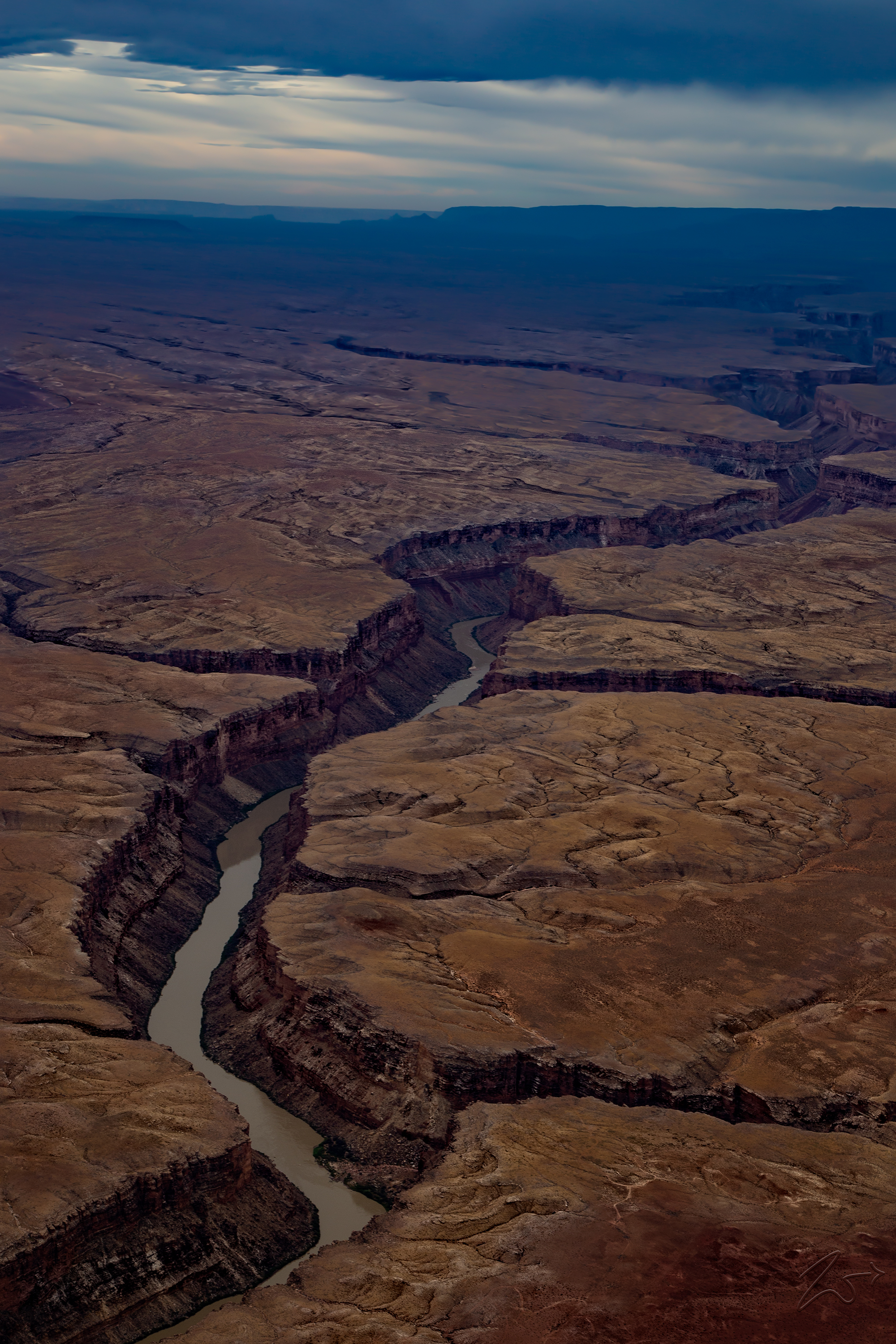
Powerfully, slowly and resolutely… the Colorado River carves its way over time through the hard rock. Lower it falls in altitude while deeper and higher the sheer cliff faces of the canyons grow with each passing mile.
This is Marble Canyon in the foreground. The first small canyon branch off to the right is Sevenmile Draw, the next set of double branch canyons spanning across both sides of the river is Badger Canyon. to the top left of that, along the top of the cliffs overlooking the river is an area known as “Among the Salt Weeds”.
The Grand Canyon is called different names by the various First Nations Tribes that have lived around and in the canyon since ancient times. The Hopi call it “Ongtupqa”, The Yavapai know it as “Wi:kaʼi:la”, and the Navajo (Diné) named it “Tsékooh Hatsoh” but it was the Spanish settlers that named it “Gran Cañón” and we still call it Grand Canyon today.
The Grand Canyon is 277 miles (446 km) long, up to 18 miles (29 km) wide and reaches a depth of over a mile (6,093 feet or 1,857 meters). Nearly two billion years of Earth’s geological history have been exposed in the walls of the canyon as the Colorado River and its tributaries cut their channels through layer after layer of rock while the Colorado Plateau was uplifted.
While some aspects of the history of incision of the canyon are debated by geologists, several recent studies support the hypothesis that the Colorado River established its course through the area about 5 to 6 million years ago. Since that time, the Colorado River has driven the down-cutting of the tributaries and retreat of the cliffs, simultaneously deepening and widening the canyon.
