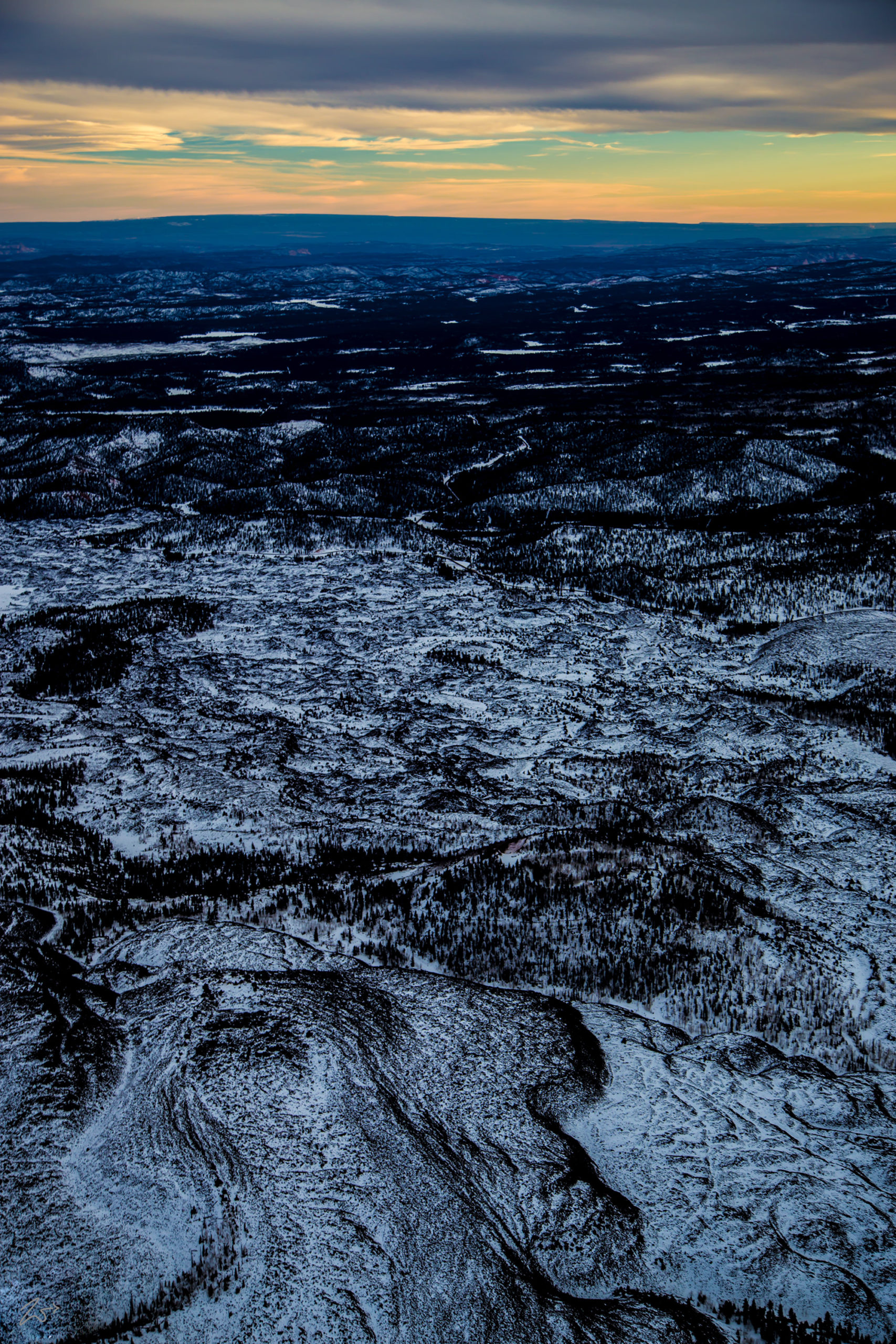
This is the rough, rugged terrain of the Paunsaugunt Plateau to the west of Bryce Canyon National Park. In the immediate foreground is Swapp Canyon at the base of the curving warped landscape. This area is part of the large-scale geologic formation known as the Escalante Grand Staircase National Monument. The staircase is an immensely huge sequence of sedimentary rock layers stretching south from the area around Cedar Breaks above Cedar City, Utah, and through Bryce Canyon National Park and Zion National Park, all the way down into the Grand Canyon National Park.
The Paunsaugunt Plateau was created millions of years ago by uplift forces on the larger Colorado Plateau. The uplifting caused the formation of overlaps and joints along the side of the plateau. In this photo with snow helping to outline the twisted rocky terrain, you can clearly see the large-scale earth movement as it layers over the top of formations.
Zedekiah:“I took this image flying from Cedar City, Utah in a circuitous route towards Page, Arizona. I am at an altitude of 1,800 feet above ground (548 m) in the early morning. This is most definitely not a good place to have to execute an emergency landing as there are no smooth places to set down on. It was cold… very cold, especially shooting out of an open cockpit window.”

