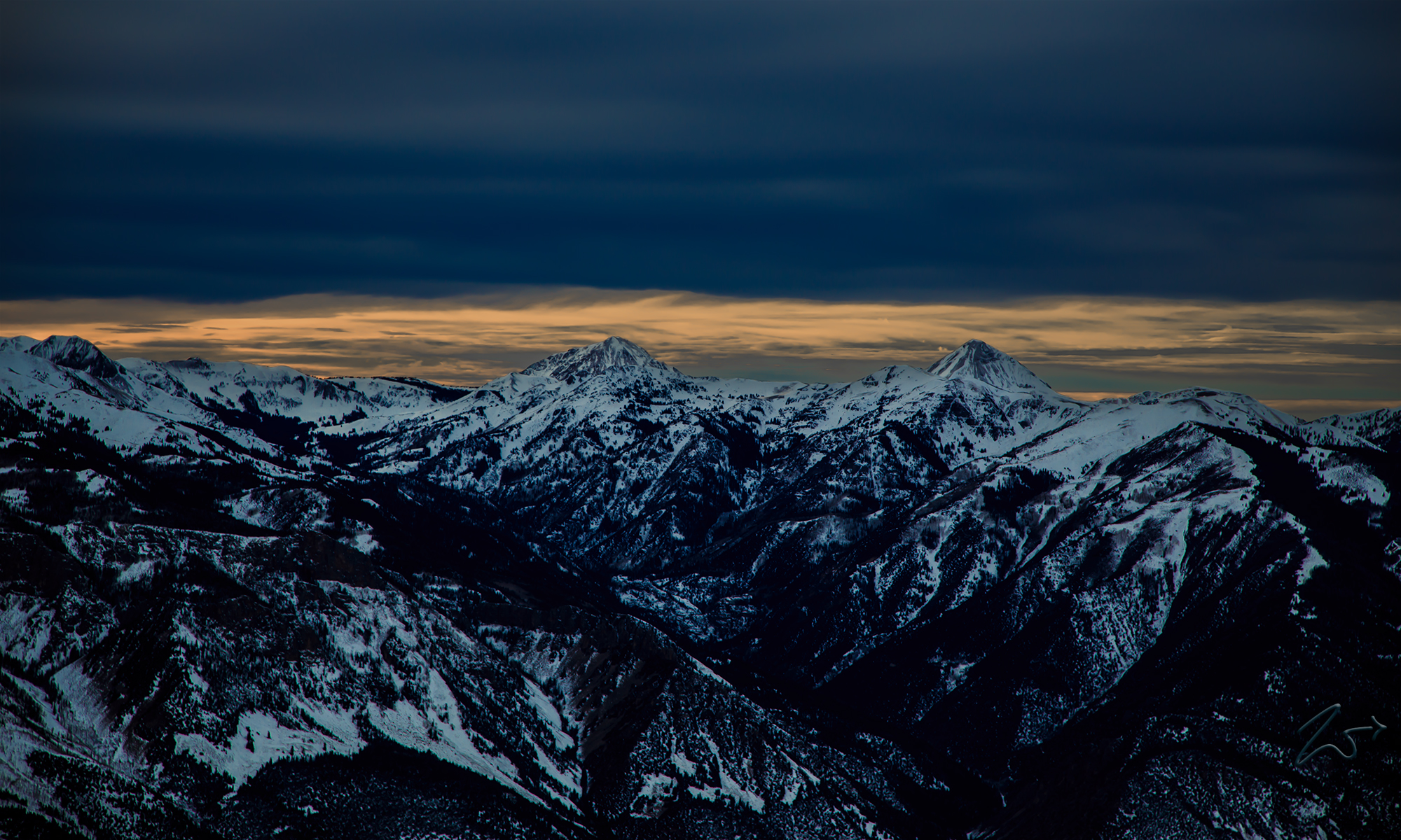
The rugged Tushar Mountains are the third highest mountain range in Utah, located in the Fishlake National Forest, Mount Belknap (the peak on the right) is 12,137 feet (3699.35m) high and Mount Baldy (on the left) has a peak of 11,068 ft (3,374m). This range is to the east of Beaver, Utah.
The peaks of the Tushars were formed between 22 and 32 million years ago by volcanic activity that included a calamitous explosion that blew off the top of a massive peak. At the cusp of the Great Basin Province, the range shares characteristics of the Colorado Plateau Province to the east.
The Tushar Mountains contain at least seven high alpine glaciated canyons, Cottonwood Canyon, North Fork of Cottonwood Canyon, South Fork Basin, The Pocket Basin, Bullion Basin, Beaver Basin, and City Creek Basin. All were heavily glaciated during the last ice age which ended about 11,700 years ago.