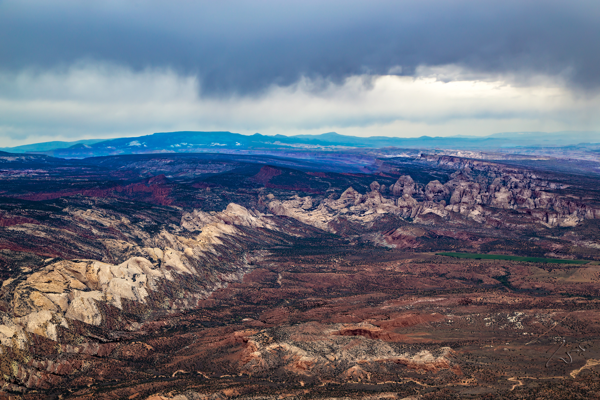
The Waterpocket Fold turns to the east at Sheets Gulch. On the left side of the ridge lies Bear Canyon and Miners Mountain. In the distance on the left is Thousand Lake Mountain in the Fishlake National Forest.
More recent uplift of the entire Colorado Plateau and the resulting erosion has exposed this fold at the surface within the last 15 to 20 million years. The name “Waterpocket Fold” reflects this ongoing erosion of the rock layers. “Waterpockets” are small depressions that form in many of the sandstone layers as they are eroded by water, and are common throughout the fold at Capitol Reef.
Erosion of the tilted rock layers continues today forming colorful cliffs, massive domes, soaring spires, stark monoliths, twisting canyons, and graceful arches.
Below, this is looking down onto the top of Sheets Gulch, a narrow slot canyon through the Waterpocket Fold with deep enclosed passageways through the eroded Navajo sandstone. In the middle left side of the Waterpocket Fold lies the Golden Throne, a mountainous domed formation comprised of golden stained Navajo Sandstone, which is unique here because the surrounding sandstone is a cream-hued white or red.
