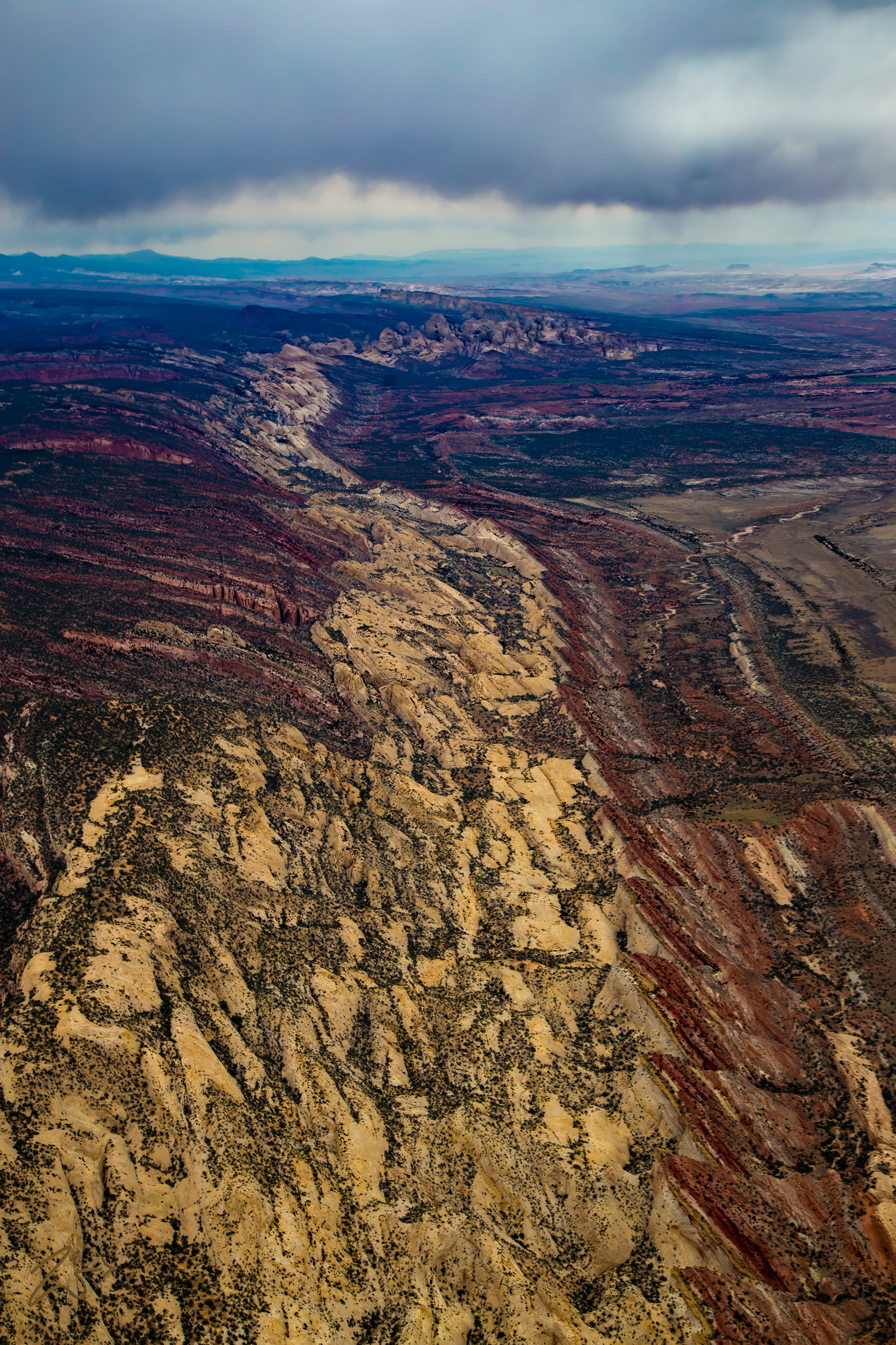
This is the strange geological formations of Capitol Reef National Park. The cream-golden colored rocks down the middle of the image are known as the Waterpocket Fold.
Waterpocket fold is a monoclinal fold that extends for nearly 100 miles (160 km) in the semi-arid plateau of the central part of Utah. It can be seen via three scenic routes in the park. One route leads to a famous landmark known as the Golden Throne. This landmark is covered in golden sandstone that gives it its name.
The very small jagged looking area that sits at the bottom of Waterpocket Fold on the right side of the gulch is called Oyster Sell Reef and is an exposed section of the fold along the headwaters of Halls Creek, south of Divide Canyon. This is where ancient fossilized oyster shells are exposed along the reef.
The Waterpocket Fold defines Capitol Reef National Park. A nearly 100-mile long warp in the Earth’s crust, the Waterpocket Fold is a classic monocline, a “step-up” in the rock layers. It formed between 50 and 70 million years ago when a major mountain building event in western North America, the Laramide Orogeny, reactivated an ancient buried fault in this region.
