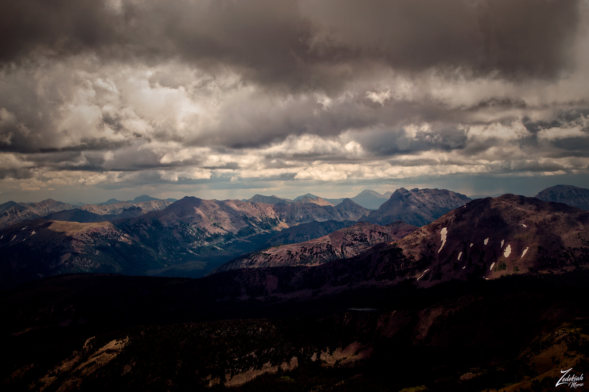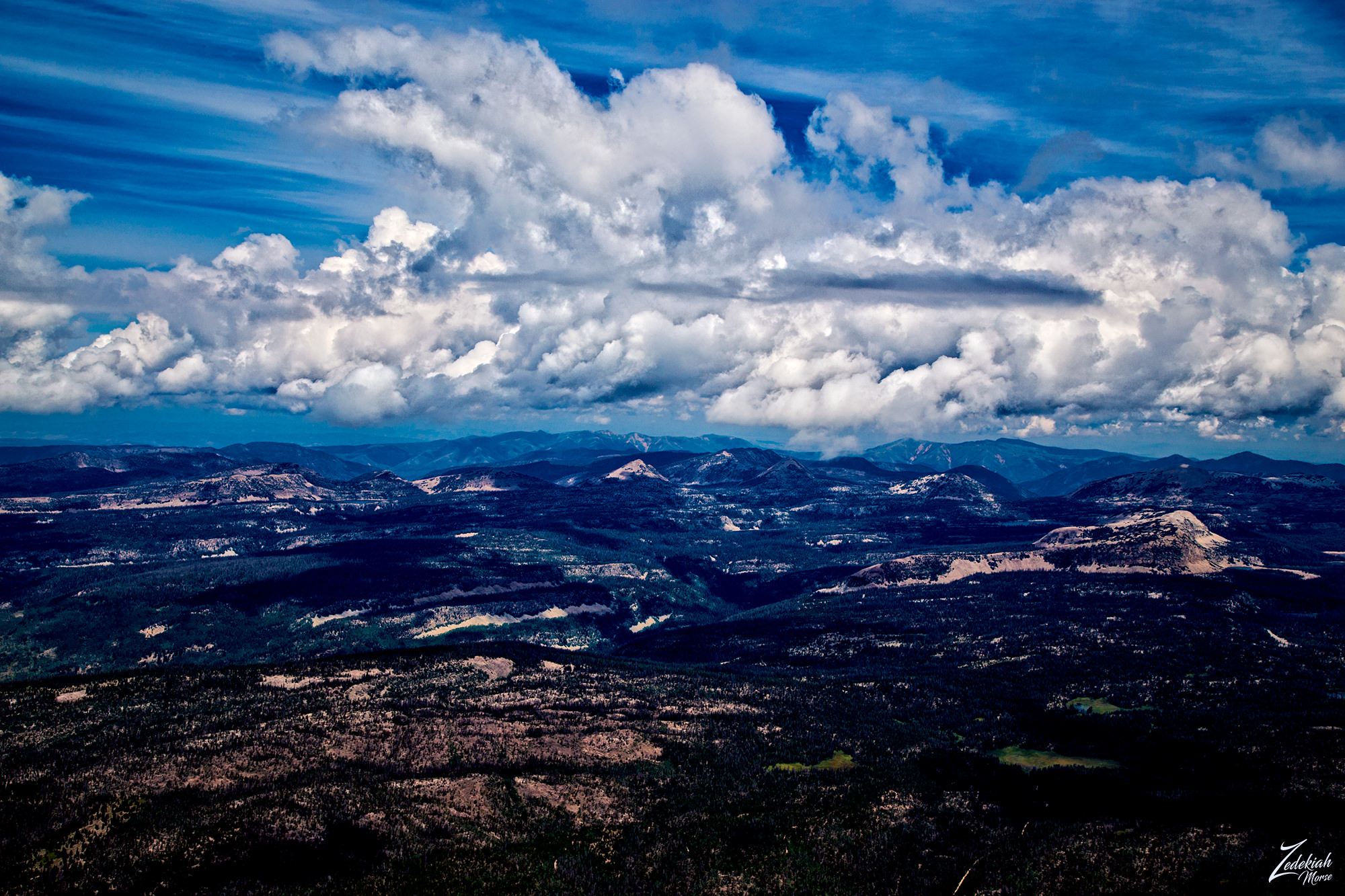
As part of the Wasatch National Forest, these are the Uinta Mountains to the east of Salt Lake City Utah and on the border of the First Nations Uintah-Ouray Reservation. These are rugged mountains with an east-west trending range that dips slightly into southern Wyoming as seen in this image below. As a sub-range of the Rocky Mountains, they are unusual for being the highest range in the contiguous United States running east to west.
This mountainous wilderness is the traditional homelands of the First Nations Ute Tribes from which the state name of Utah is derived. The Utes have a current tribal membership of 2,970 and over half of its membership lives on the Reservation. They operate their own tribal government and oversee approximately 1.3 million acres.
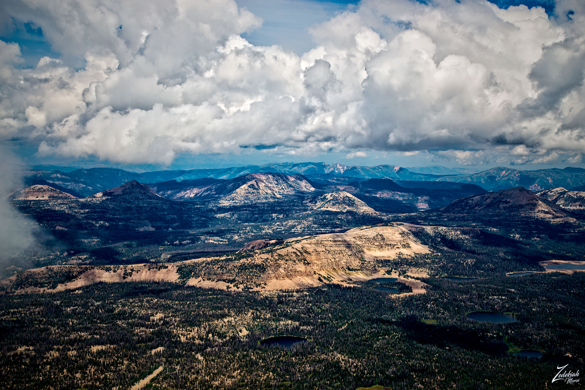
This following image is Haystack Mountain glowing a dull sandy white hue in this image lensed while flying and exploring the wilderness areas of the Wasatch National Forest east of the Great Salt Lake in Utah. Clouds are providing an occluded cover and diffusing the bright sunlight above the Provo River Watershed around Haystack Mountain and Murdoch Basin.

Sitting just outside the western of the Uinta Mountains, this area is known as Lake Country and is home to numerous glacial lakes that dot the landscape. Haystack Mountain is a wonderful place to camp and hike in and the lakes sitting to the bottom left of the mountain are famous for their fishing. The lake at the very bottom middle of Haystack Mountain is Azure Lake and to the right of that is Shadow Lake and further to the right on the far right side of the image is Washington Lake. The lake towards the bottom of this image and slightly in from the right side is Haystack Lake and the one all by itself toward the bottom middle of this image is Blue Lake.
Above Haystack Mountain in the background distance lies Mount Watson, Notch Mountain, Reids Peak and Mount Marsell. Then on the other side of this is the state of Wyoming and the Uinta Mountains.


